The Role of Floodplain Management in Public Safety
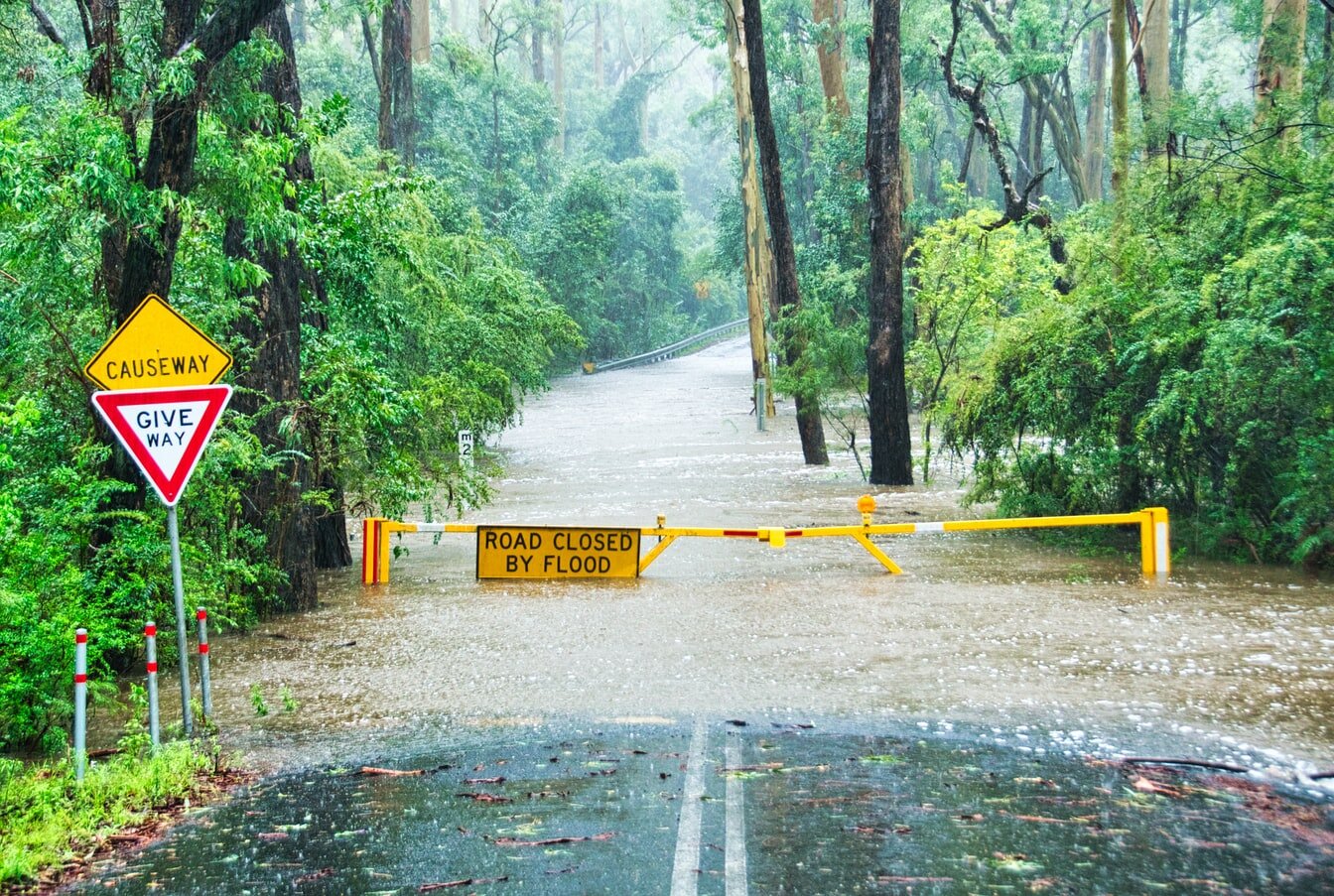
After the floods that occurred in 2013 across the Southwest region of the US, new floodplain maps are being created by the state of Colorado and the Federal Emergency Management Agency. Floodplain maps started as a record that was only updated every 30 years, but it is now possible to update daily.

Introduction to Subsurface Engineering and Locating
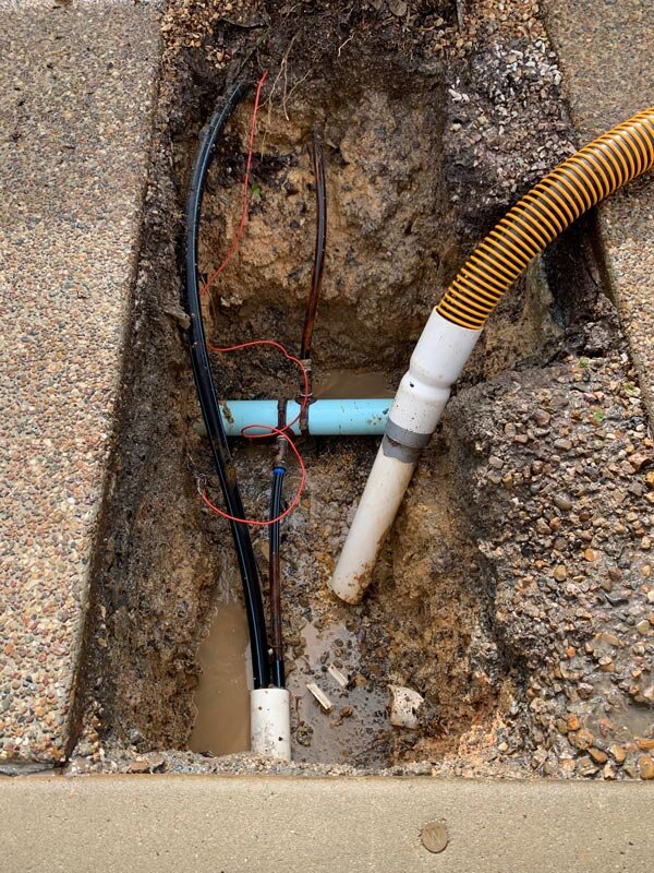
Today, nearly every state has subsurface utility engineering embedded as a routine in all projects. Continue reading to understand why the demand for SUE has dramatically increased over the past three decades and how your firm can benefit from it.

The Application of Drones in Engineering and Surveying
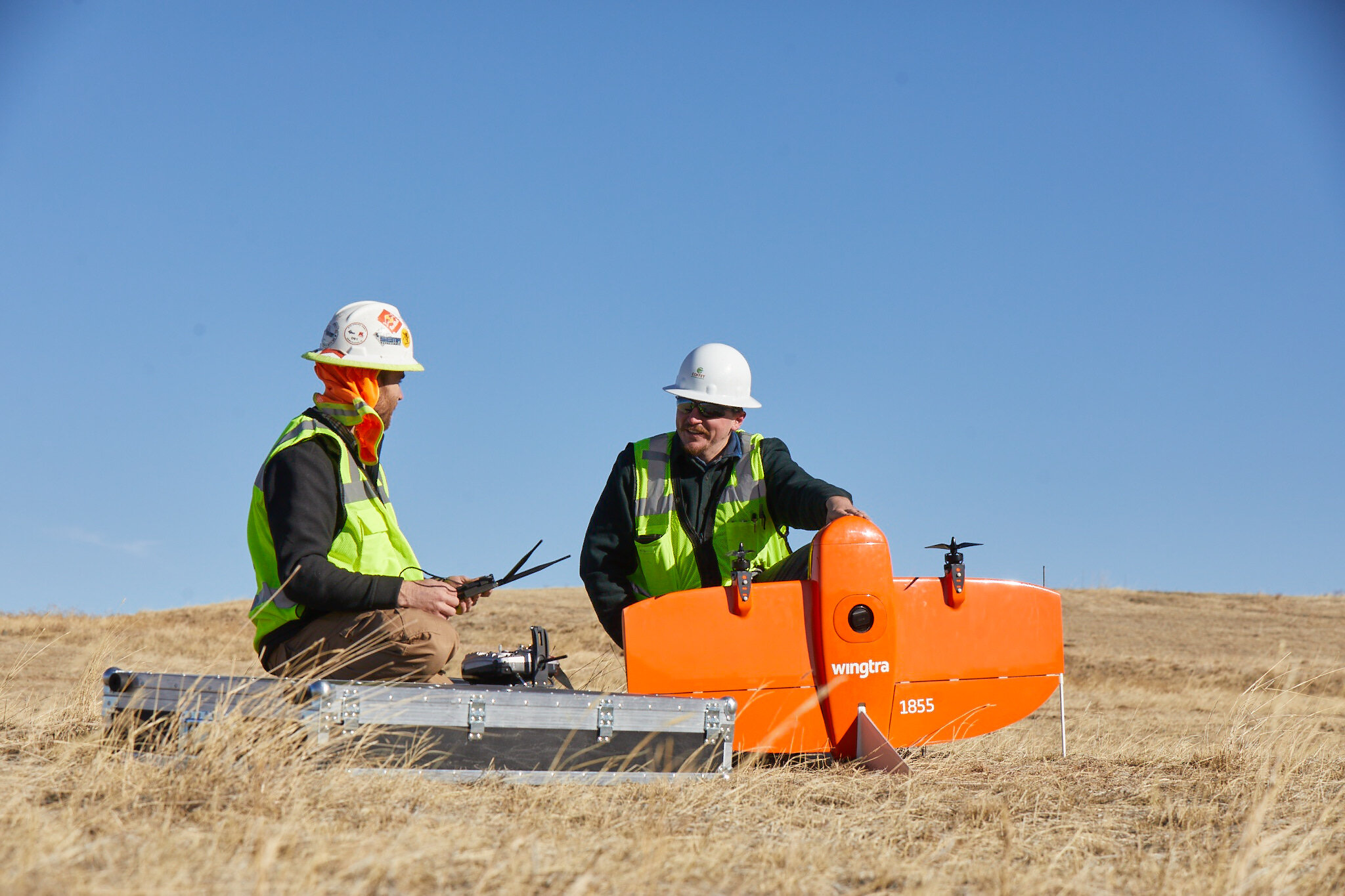
In 2006, drones were no longer restricted to military use, and thus the door opened to their new applications across various industries. Engineers and surveyors have been one of the biggest beneficiaries. Let us tell you why…

