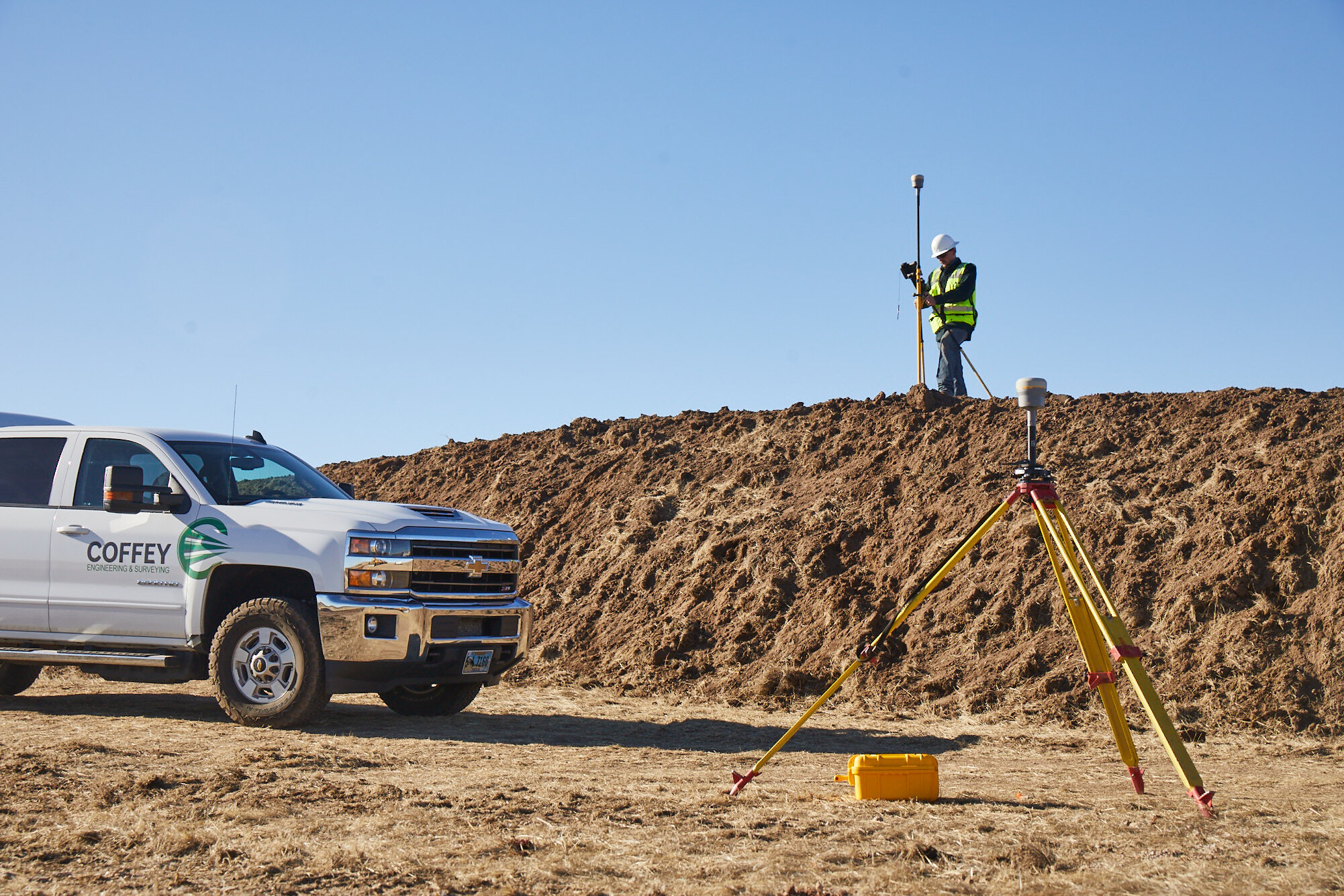
Engineering & Surveying
The licensed professionals at Coffey can assist with services ranging from municipal engineering to land platting, and from permit filing to satellite mapping—and just about everything in between. Our team is excited about the opportunities of exploring new terrains and solutions.
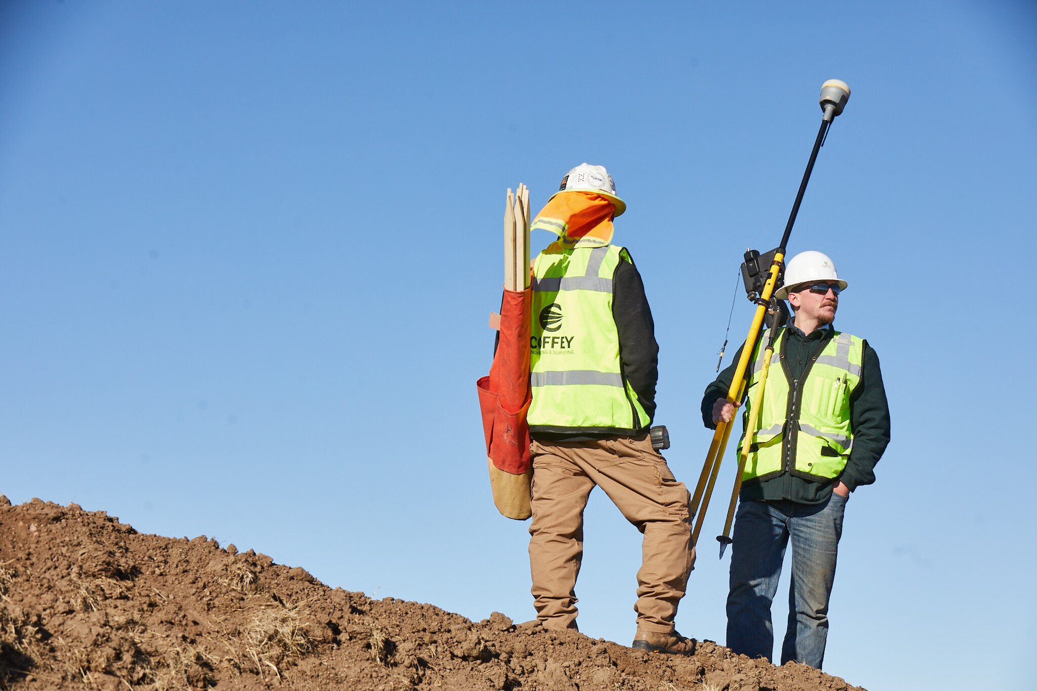
All Services
Engineering
Our services include an array of civil engineering for land development projects, municipalities and other major industries west of the Mississippi.
Surveying
We provide comprehensive land surveying services for a variety of industries, from ALTA land title surveys to water rights, transportation infrastructure and more.
Other Services
Our fully-rounded team performs a variety of custom technology services such as Geographic Information Systems (GIS) for city plans, urban forests; ESRI software and extension solutions; satellite mapping and more.
Our Services Know No Bounds
Our geographic breadth spans the U.S. regions west of the Mississippi River. With the history of successful expansions beyond our home state, we are excited with our continued reach.
Navigate around the following map to view our project locations.
Core Regions
Mid-central
West coast
Northwest
Industry Pulse
Contact Us
If you have questions or would like to get in touch, send us an email using the following form. We’ve had the honor of supporting the greatest ideas. We look forward to discussing yours with you.







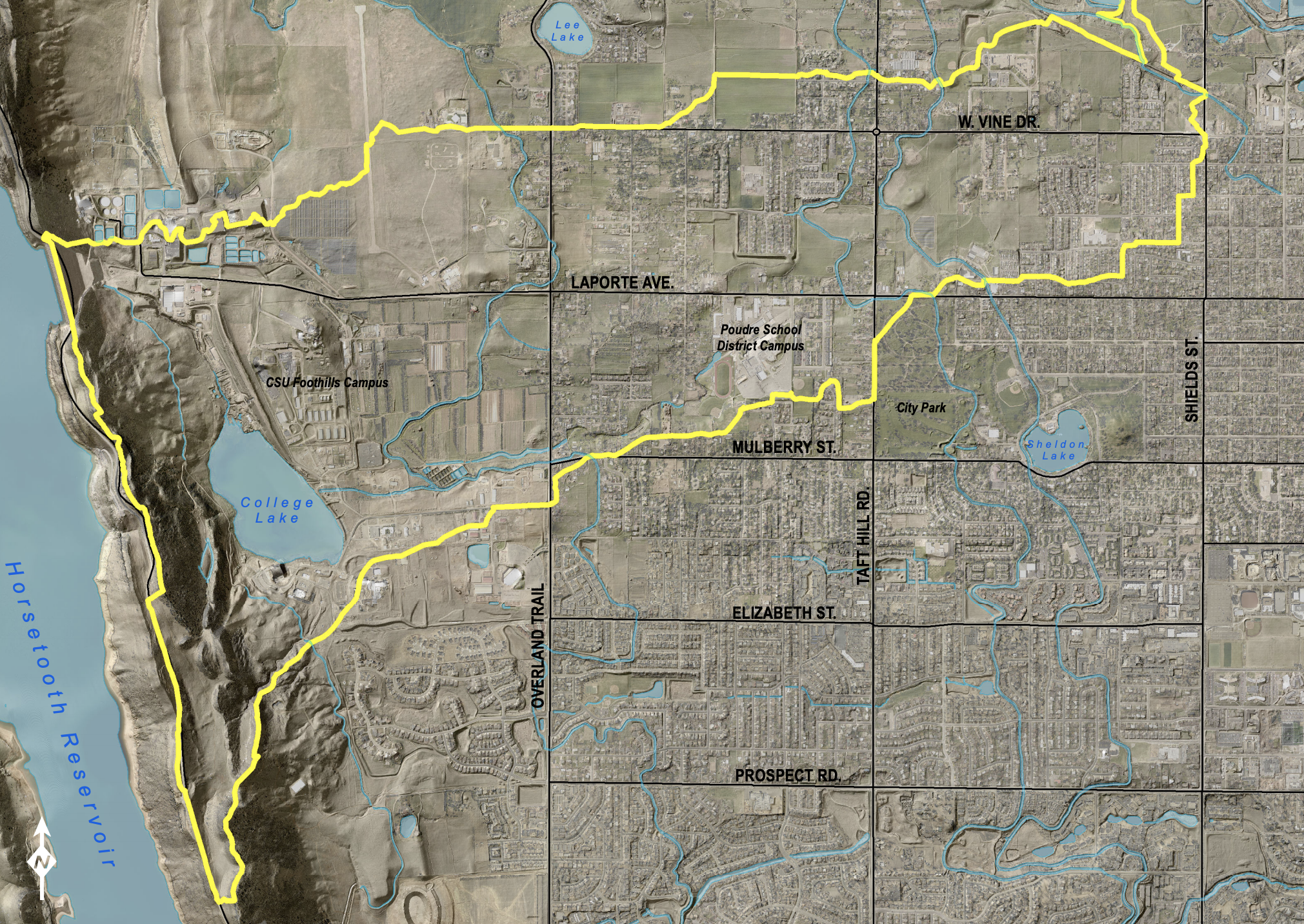
After the floods that occurred in 2013 across the Southwest region of the US, new floodplain maps are being created by the state of Colorado and the Federal Emergency Management Agency. Floodplain maps started as a record that was only updated every 30 years, but it is now possible to update daily.